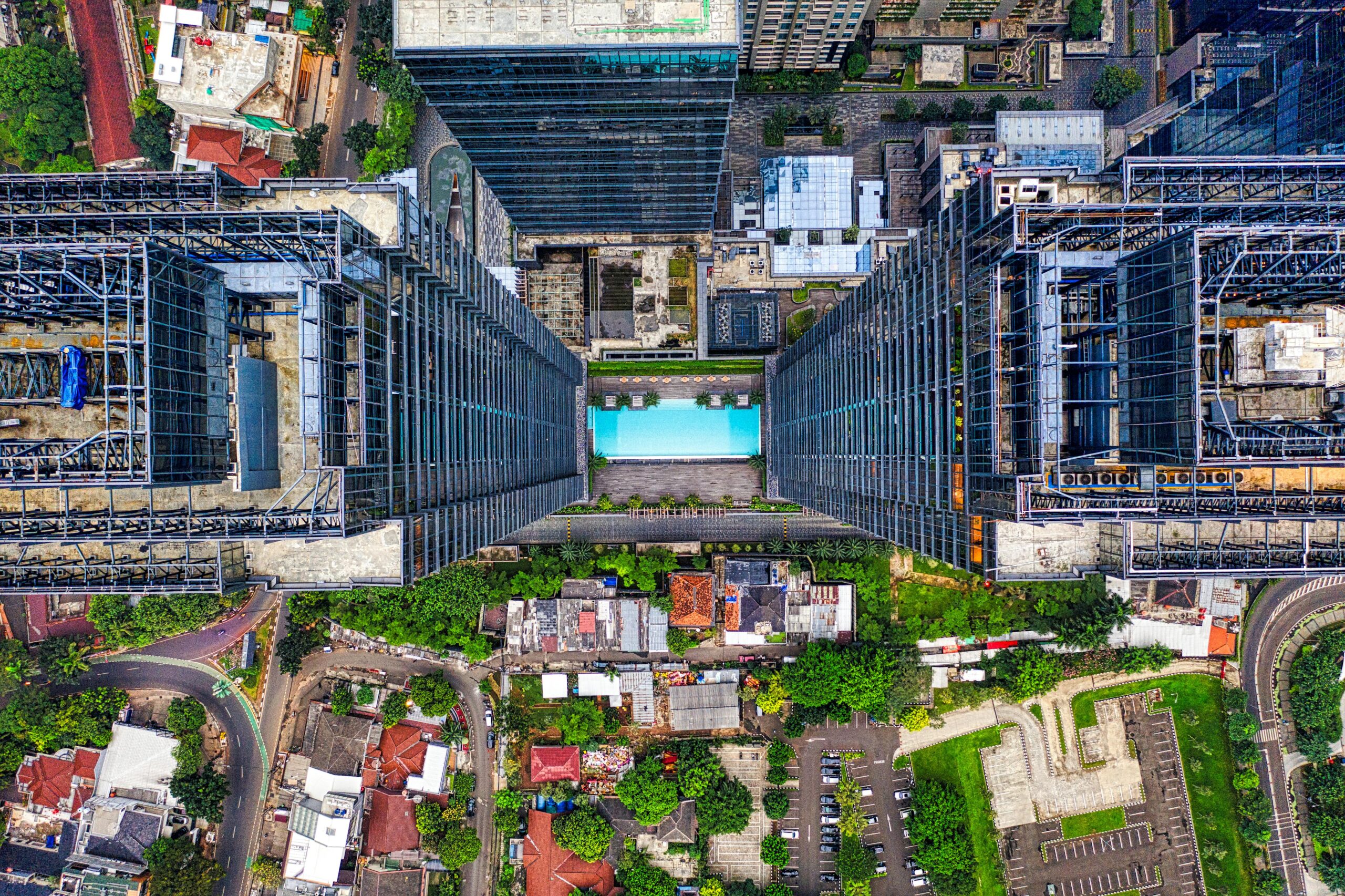
Elevate Your Construction Projects With Drone Technology!
Drone Services and Real Estate Photography in Austin, Texas
Expert Insights
Capture every detail of your project with our expert drone photography, ensuring clear progress updates and informed decisions.
Stunning Visuals
Showcase your projects with breathtaking aerial shots that grab attention and make your work stand out in the market!
Marketing Mastery
Boost your brand with captivating drone videos, turning your projects into marketing powerhouses that attract clients effortlessly!

Drone Services for Construction
We specialize in capturing the essence of your construction projects. From progress updates to stunning marketing visuals
What Clients Say
Vyper Drones transformed our project! Their detailed mapping helped us spot issues early, saving time and money. The team was professional and always available to answer questions. I can’t imagine completing our project without their expertise. Highly recommend!
LANDIN HOMES

