Services

Aerial Photography
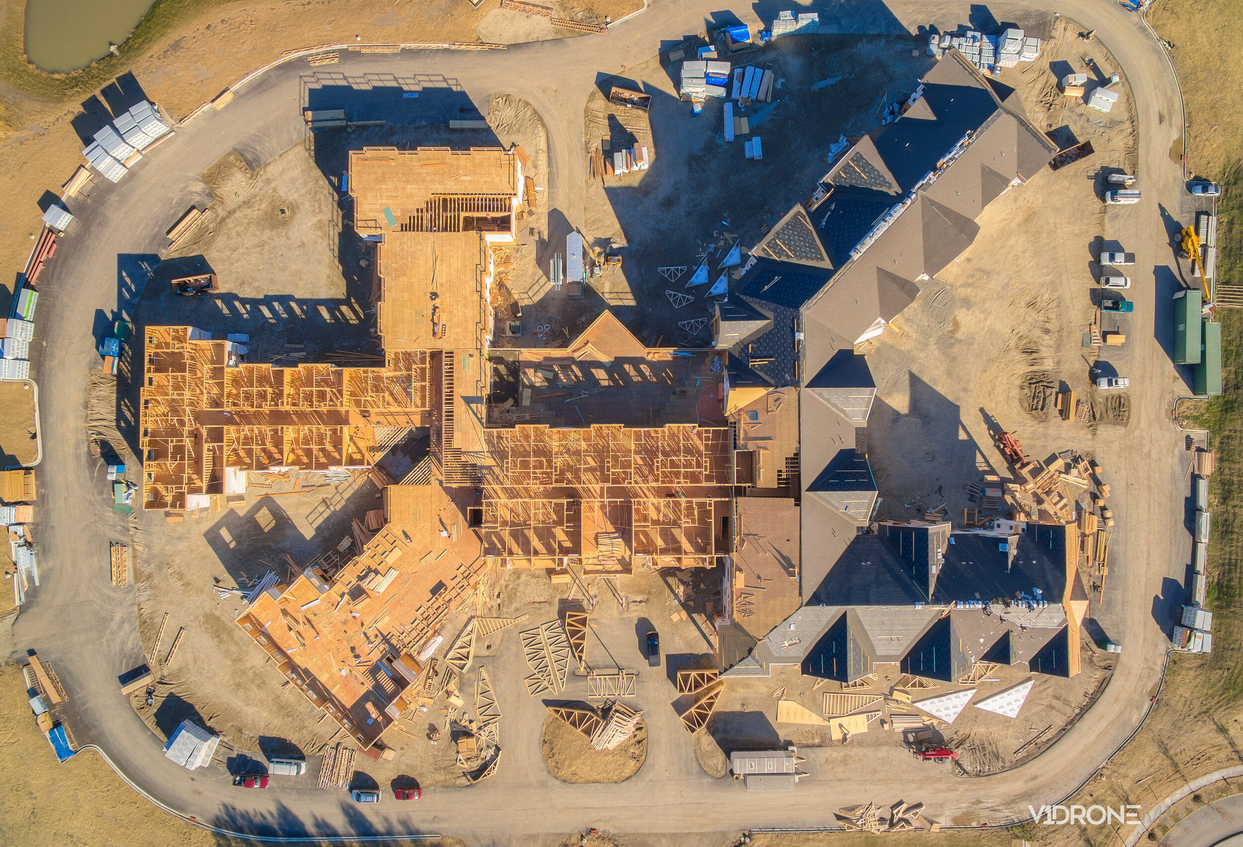
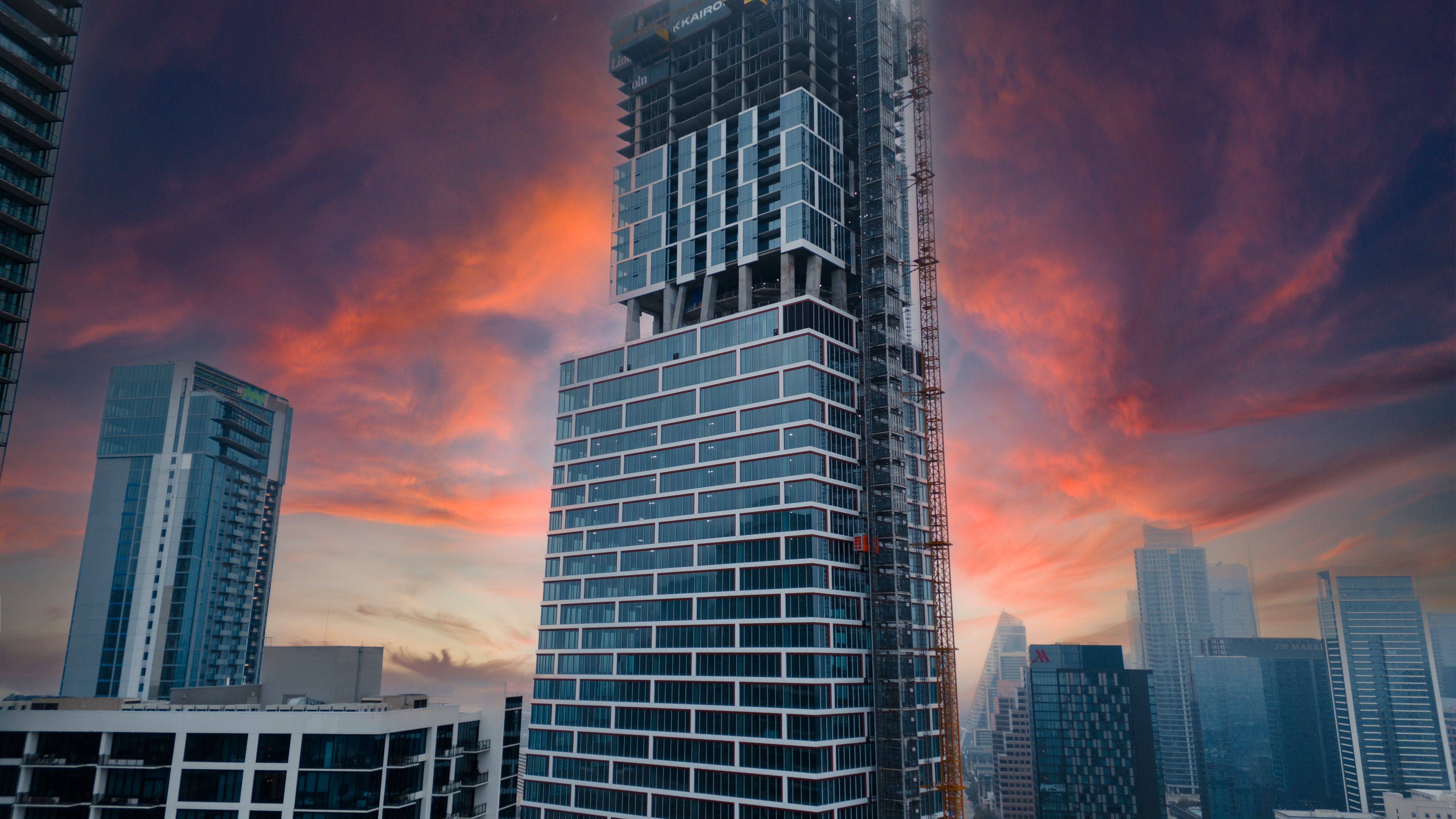
Capture stunning, high-resolution aerial images that provide a unique perspective for real estate listings, construction progress tracking, and marketing campaigns. Our professional drone photography enhances property listings, showcases large land developments, and delivers detailed site inspections with precision and clarity.

Aerial Videography
Bring your projects to life with cinematic drone videos. Whether highlighting a real estate property, documenting construction progress, or creating engaging promotional content, our aerial videography delivers dynamic and immersive visuals that leave a lasting impact.

Marketing
Maximize your brand’s visibility with high-quality aerial content tailored for digital marketing. We create compelling visuals that boost engagement for real estate professionals, construction companies, and businesses looking to stand out. From social media content to promotional videos, we help you make a strong impression.

Trust us to transform your construction projects with precision and cutting-edge technology!
